Transforming the way we dig, pave, spray, drill and build. Built on decades of innovation, Trimble machine control systems help to improve accuracy, productivity, safety and quality on the jobsite.
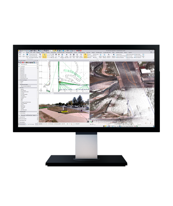
Trimble® Business Center (TBC) software enables surveyors to transform field data from GNSS receivers, total stations, laser scanners, mobile mapping systems, drones and more into high-quality, actionable information and client deliverables.
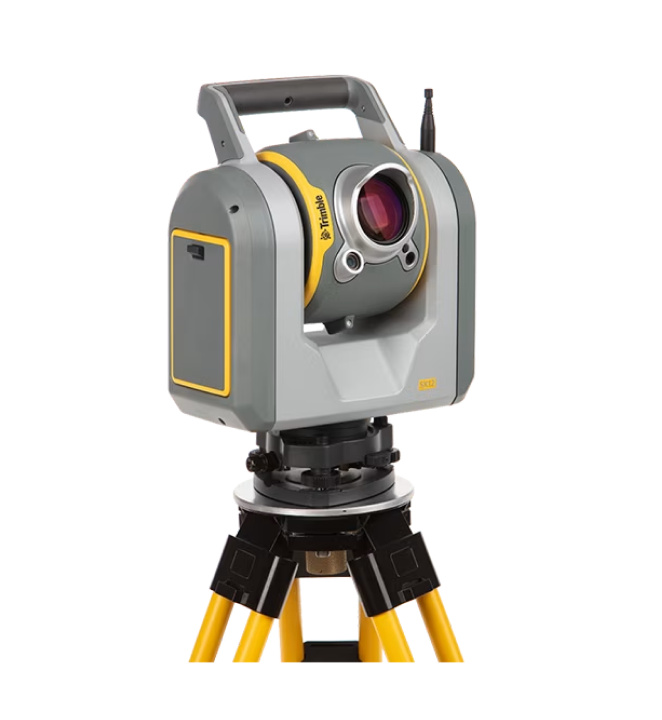
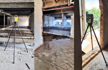
The Trimble® X9 3D laser scanning platform leverages proven Trimble technology to deliver the range, accuracy, speed and sensitivity you need to do more. With flexible licensing plan options, choose the scanning functionality that fits your project needs.
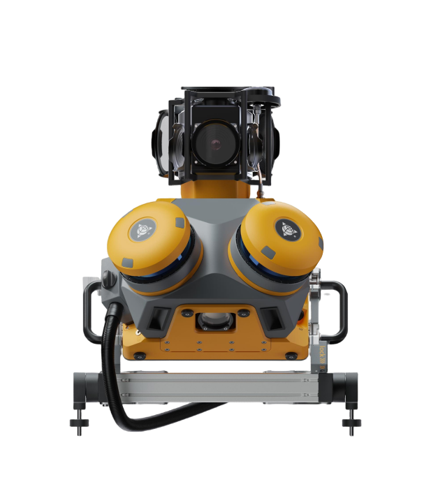
The Trimble® MX60 mobile mapping system delivers powerful mobile scanning and imaging for asset management. Take control of your data capture and choose from core, pro or premium models to fit your needs and ensure the perfect solution for every project.
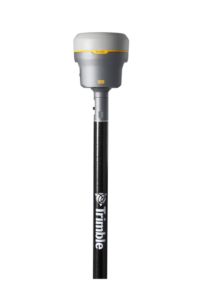
The Trimble® R980 GNSS system unlocks peak accuracy and productivity for land surveyors with proven GNSS performance. Overcoming challenging GNSS conditions and excelling in remote locations, the R980 is ready to work wherever the job leads you.
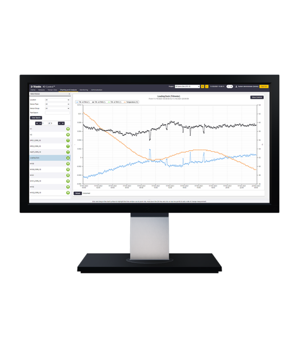
Elevate your monitoring with Trimble® 4D Control (T4D) software. Deploy this automated movement detection solution to make better-informed decisions. Easily configure a range of sensors, manage monitoring data and share real-time analysis with stakeholders.
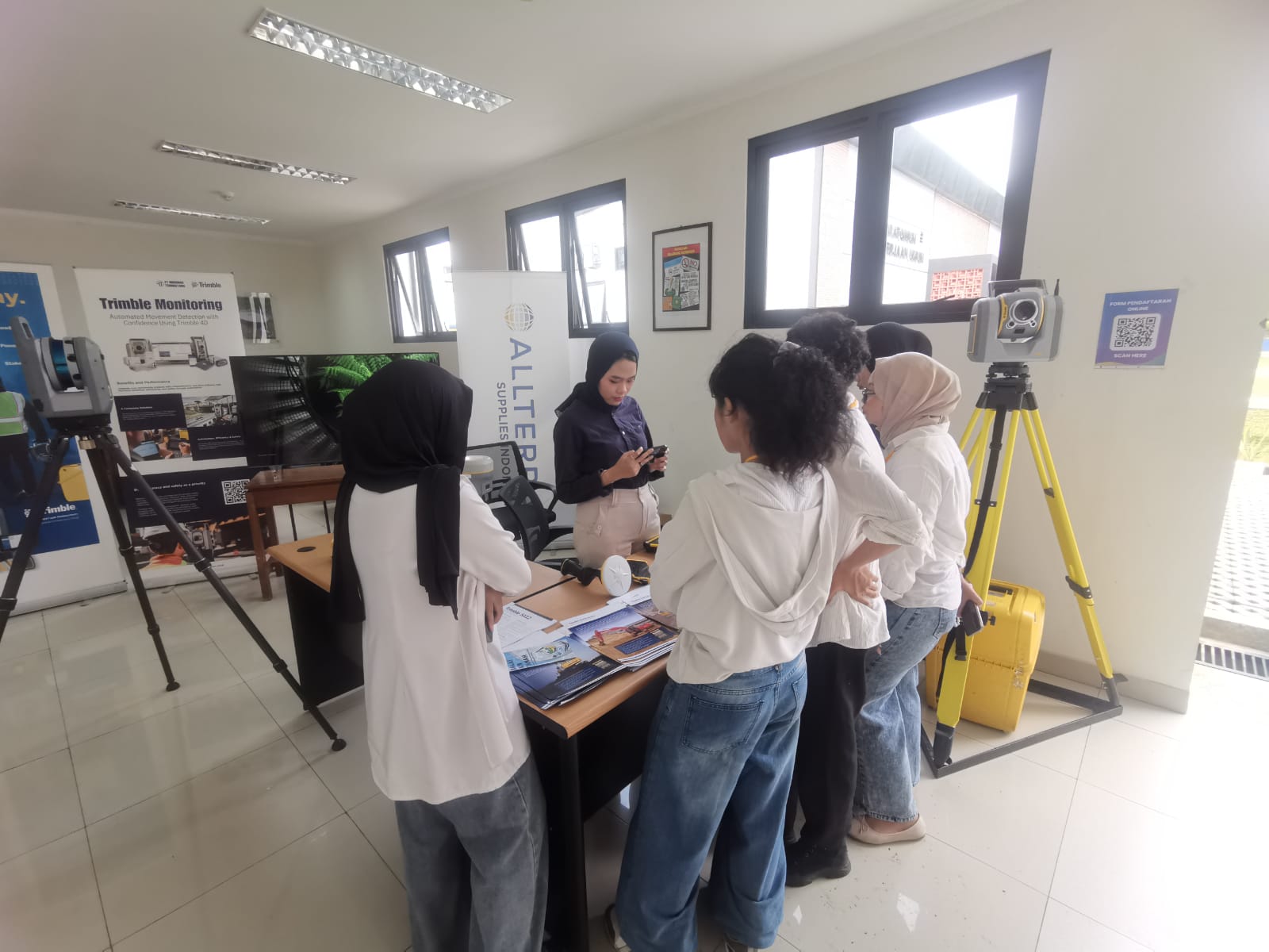
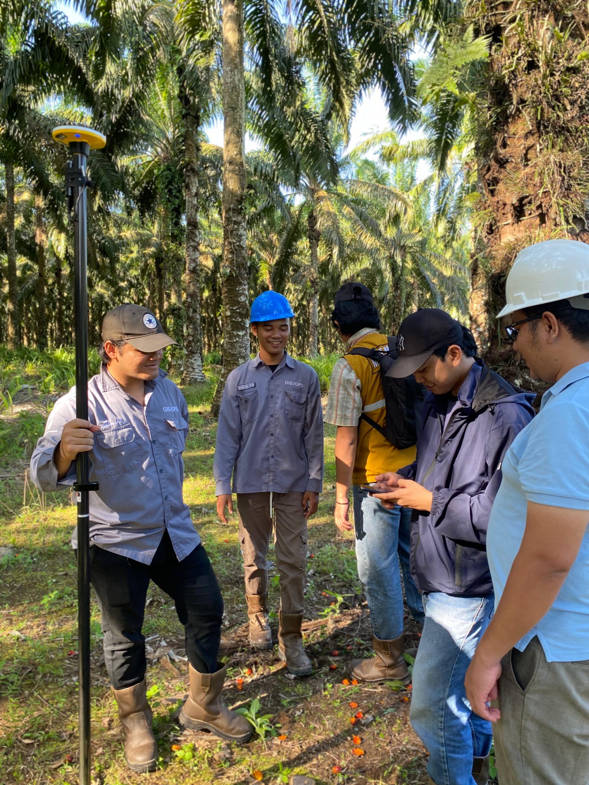
We provide best in class geospatial solutions and support to simplify the workflow between the field and office for geospatial professionals across Indonesia.
★★★★★5/5
“Produk unggulan dan tim dukungan yang berdedikasi menjadikan Trimble pilihan utama kami untuk survei.”
PT Vale Indonesia Tbk
★★★★★4/5
Dari pelatihan hingga perbaikan, layanan purna jual mereka sangat memuaskan—selalu ada saat dibutuhkan!
PT Adaro Energy Tbk
★★★★★5/5
“Instrumen Trimble berkualitas dan dukungan luar biasa! Solusi terbaik untuk proyek kami.”
PT Sinar Mas Agro Resources and Technology Tbk
★★★★★5/5
“Mitra terpercaya yang memastikan kami tetap sesuai jadwal dengan solusi terbaik.”