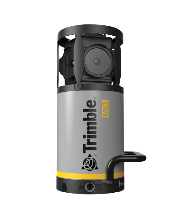
Trimble MX60

Trimble MX60

The Trimble® MX60 mobile mapping system delivers powerful mobile scanning and imaging for asset management. Take control of your data capture and choose from core, pro or premium models to fit your needs and ensure the perfect solution for every project.
Benefit & Performance

Effortless end-to-end efficiency

The MX60 simplifies data capture and, with purpose-built office software, streamlines field-to-finish asset management and maintenance workflows.

Driven to deliver

Powered by state-of-the-art LiDAR technology, best-in-class GNSS positioning and premium optics, the MX60 delivers comprehensive data for effortless asset management.

Other Products

By combining innovative technology with intuitive functionality the Trimble® SX12…
The Trimble® MX90 system is part of a complete field-to-finish mobile mapping solution…

Trimble FieldLink is field layout and scanning software that gives you the power to…

The Trimble® MX7 mobile mapping system makes it easier for your team to manage…